
Geoinformatics is a powerful geospatial science that uses GIS, remote sensing, and GPS to analyze spatial data for smart decision-making and sustainable development.
Table of Contents
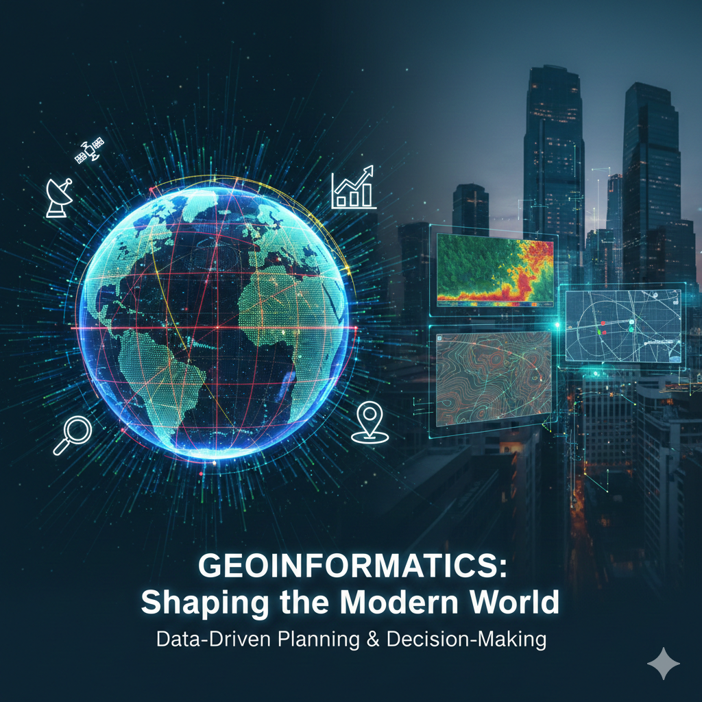
Geoinformatics: Unveiling the Power of Spatial Intelligence
Introduction to Geoinformatics By Kheti Ka Hisab
Geoinformatics is a multidisciplinary field that integrates geospatial information science, Geographic Information Systems (GIS), remote sensing, and Global Positioning System (GPS) technologies to collect, process, analyze, and visualize spatial data. Geoinformatics plays a crucial role in understanding geographic patterns, spatial relationships, and environmental processes, making it essential for data-driven planning and decision-making in the modern world.
What is Geoinformatics?
Geoinformatics focuses on the acquisition, management, analysis, and visualization of spatial or geographic data. It combines advanced computational tools with Earth sciences to transform raw location-based data into meaningful spatial intelligence.
Core Components of Geoinformatics
Geoinformatics and Spatial Data Acquisition
Geoinformatics relies on spatial data collected through satellite imagery, aerial photography, drones, GPS measurements, remote sensing instruments, and field surveys. These data sources provide accurate information about the Earth’s surface and natural processes.
Geoinformatics Data Processing and Integration
In geoinformatics, raw spatial data is processed through data cleaning, transformation, integration, and quality assessment. Proper data processing ensures accuracy and reliability in spatial analysis.
Spatial Analysis in Geoinformatics
Spatial analysis is a fundamental aspect of geoinformatics. It includes spatial statistics, overlay analysis, network analysis, and predictive modeling to identify patterns and trends within geographic data.
Geographic Information Systems (GIS) in Geoinformatics
GIS is the backbone of geoinformatics. It enables users to store, manage, analyze, and visualize spatial data by linking maps with attribute information for informed decision-making.
Remote Sensing in Geoinformatics
Remote sensing is a key technology in geoinformatics that collects Earth observation data without direct contact. It is widely used for land-use mapping, environmental monitoring, agriculture, and disaster assessment.
Role of GPS in Geoinformatics
GPS technology supports geoinformatics by providing precise positioning and navigation data. It is essential for surveying, mapping, infrastructure planning, and real-time tracking applications.
Applications of Geoinformatics
Geoinformatics is applied across multiple sectors, including:
- Urban and regional planning
- Environmental and climate studies
- Natural resource management
- Disaster management and mitigation
- Precision agriculture
- Transportation and logistics
- Public health mapping
- Archaeology and heritage studies
Emerging Trends in Geoinformatics
Modern geoinformatics is evolving with artificial intelligence, machine learning, big geospatial data analytics, cloud-based GIS platforms, and smart city technologies, enhancing spatial intelligence and predictive capabilities.
Challenges in Geoinformatics
Despite its advantages, geoinformatics faces challenges such as data interoperability, maintaining spatial data quality, privacy concerns related to location data, and the shortage of trained geospatial professionals.
Importance of Geoinformatics in Modern Society
Geoinformatics supports sustainable development by enabling accurate spatial analysis, efficient resource management, predictive planning, and evidence-based policy decisions. As spatial data continues to grow, geoinformatics remains a critical tool for smart governance and digital transformation.